www.it-connect.fr

France Vue: A Free 3D Explorer for France Using IGN Data
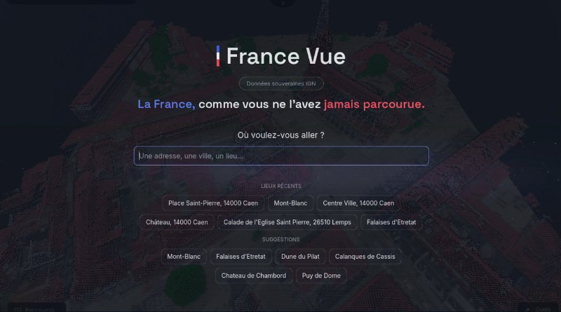
Type in an address and instantly find yourself hovering over it in three dimensions, with terrain, aerial photos (recent or from the 1950s), and the IGN LiDAR point cloud. That is what France Vue offers: a free application introduced on Reddit by a developer who has worked in geospatial for eight years. The project is still in beta and is looking for testers.
A 3D France Built from a Specialist’s Frustration
The author of France Vue unveiled the application on the r/FrenchTech forum. He explains its starting point himself: "I’ve been working in geospatial for 8 years, and it has always bothered me that France’s best public data (terrain, orthophotos, IGN LiDAR HD) remains reserved for people who know how to use a GIS."
A what? A GIS? A GIS, or geographic information system, is specialized software used to capture, manage, analyze, and map geographic data.

France Vue aims to remove that technical barrier. The principle is simple, and something everyone is used to doing: enter an address, and you end up there in 3D. Three layers are overlaid: terrain, aerial photographs (recent or old, so you can revisit your village in the 1960s), and the LiDAR point cloud, along with a rangefinder to measure heights and distances to within 10 cm according to its author. There is even a pretty cool feature that can tell whether a roof is properly exposed to sunlight, making it possible to assess solar panel installation potential.
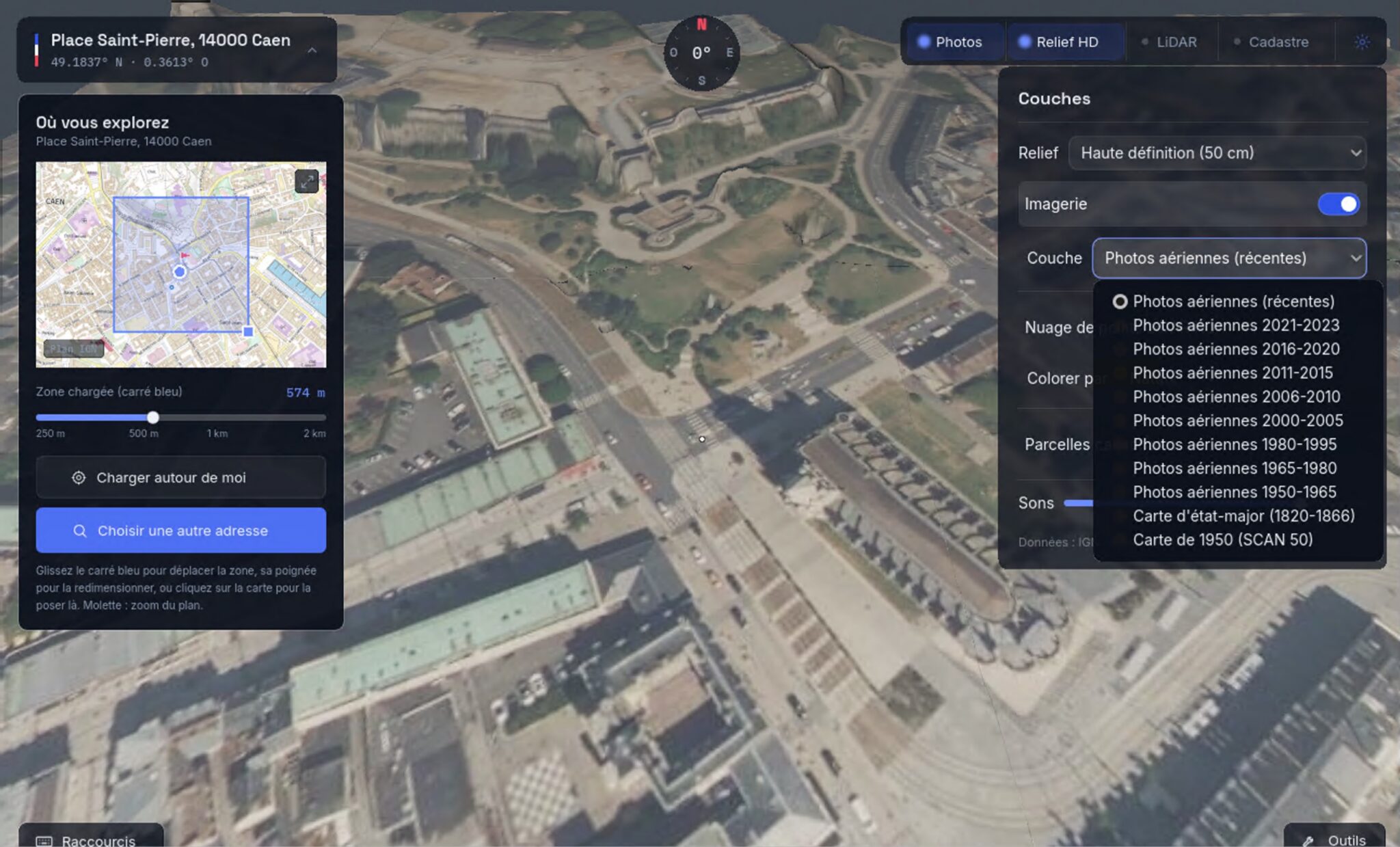
By simply switching layers, you can display the corresponding images from another period, like these aerial photos from 1965 to 1980.
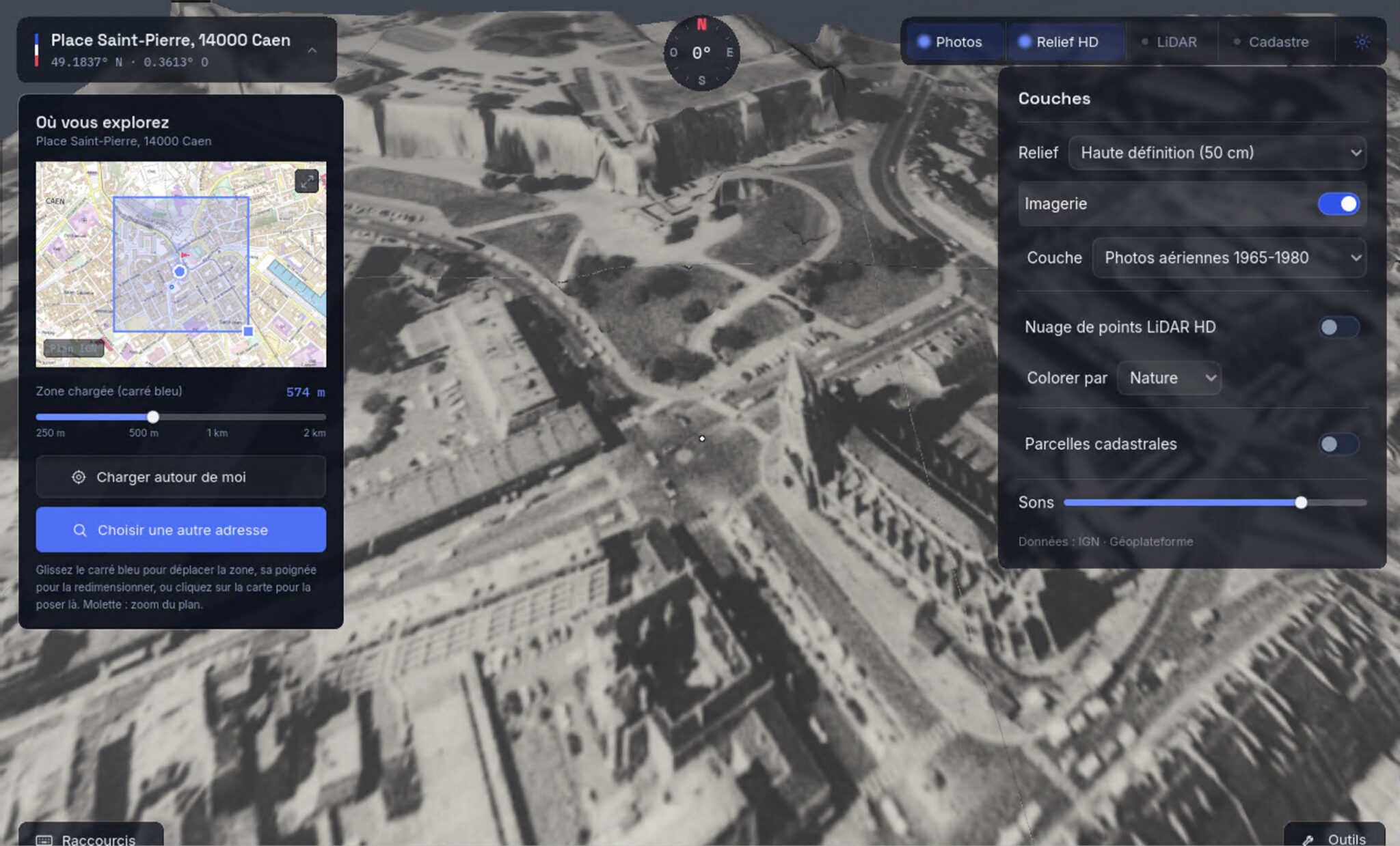
The application downloads data locally to your computer on demand, based on the address entered. That means you do not have to perform a huge download before starting to use the app. The author also says there is no advertising and no telemetry. Another good piece of news: France Vue does not require an account.
For now, France Vue is available only for Windows, but Mac and Linux versions could follow later. You can download it on GitHub (although the app does not appear to be open source, unless the source code is planned for release later).
The Fuel: IGN Open Data
France Vue draws on the IGN Geoplateforme, the public infrastructure that hosts and distributes the State’s reference geographic data, including terrain, orthophotos, and the famous LiDAR HD.
The LiDAR HD program, launched in 2021, maps all of mainland and overseas France using airborne laser scanning, with a target density of about 10 points per square meter. Thanks to this scan, every hedge, roof, and embankment is measured in three dimensions. All of this data is published as open data, under an open license, and freely downloadable from the Geoplateforme.
From these surveys, IGN derives three complementary models:
- MNT (digital terrain model): the bare ground, stripped of vegetation and buildings, useful for simulating floods or revealing archaeological structures invisible to the naked eye.
- MNS (digital surface model): the actual height of buildings and vegetation.
- MNH (digital height model): the difference between the two, which makes it possible, for example, to measure the height of trees.
Natural risk prevention, forestry management, estimating rooftop solar potential, urban planning... The use cases are numerous. And above all, because this data is open, a project like France Vue can exist.
France Vue or cartes.gouv.fr: What’s the Difference?
The question naturally comes up now that IGN opened its cartes.gouv.fr portal to the public on June 25, 2026, succeeding the Géoportail launched in 2006. We covered this launch in our article on the launch of cartes.gouv.fr, the State’s sovereign mapping portal. The two, however, do not really compete in the same category.
- cartes.gouv.fr is the official public service, accessible from a browser. It centralizes more than 1,100 data layers and lets users view, overlay, measure, download, and even host or publish their own maps. It includes the cadastre, Panoramax immersive views (the sovereign alternative to Google Street View), and access to LiDAR HD data. It is the source and the reference tool.
- France Vue is an independent initiative, with a desktop application that consumes the same open data locally. France Vue includes analysis features through its tools and layers, but the app is also interesting as an exploration experience. A 3D France to browse as you wish, while diving into the archives with a simple switch of the photo layer.
If you want to test it and send feedback to the author, go here:
What do you think?